Cookie Notice

For an optimal website experience, we retrieve usage information with the help of cookies, which we, TravelTrex GmbH, then share with our partners. Usage profiles are created based on your activities using end device and browser information. These usage profiles are used for statistical analysis, individual product recommendations, individualised advertising and reach measurement. We require your consent for this (revocable at any time), which also includes the transfer of certain personal data to third-party providers in third countries outside the European Economic Area, such as Google or Microsoft in the USA.

By clicking on , you accept the use of cookies not required for website function and similar technologies. If you click , we will only use services that are technically necessary and required to fulfil the contract.

Further information concerning the cookie usage and the option to change your settings can be found in our Cookie-Policy.

Information concerning the people responsible can be found in our Legal Notice. Information concerning processing purposes and your rights can be found in our Data Protection Policy.

Customer review

Bad Wildbad

NEW!

No reviews available yet.

Cross-country Bad Wildbad

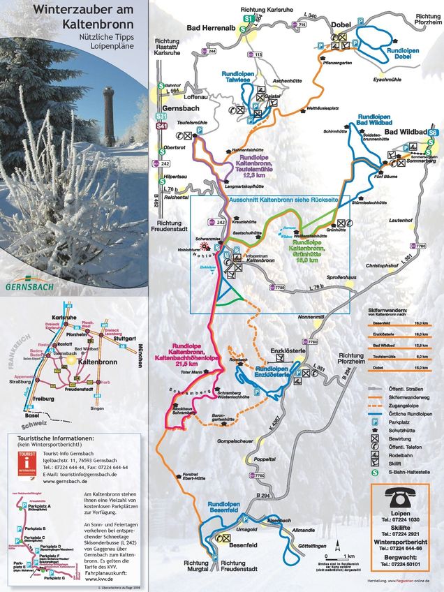
A total of approx. 37 kilometres of cross-country trails are available to cross-country skiers in Bad Wildbad and the surrounding area. You will need a good level of fitness for the Bad Wildbad-Kaltenbronn circuit hike. The route runs for 22 km between Sommerberg and Kaltenbronn, but is also suitable for beginners.

There are also other cross-country trails in Aichelberg and Enzklösterle. There, advanced cross-country skiers will find, among other things, the somewhat more demanding, 8 km long Rohnbach trail. In addition, you have access to connecting trails to the Skifern hiking trail in the direction of Besenfeld.

A real insider tip when the sun is shining is the approximately 4 km long "Sonnenloipe" ("sun trail") at around 620 metres altitude.
Cross-country map Bad Wildbad
To enlarge please click onto the trail map

Book safe with SnowTrex advantages

StickyNewsletter